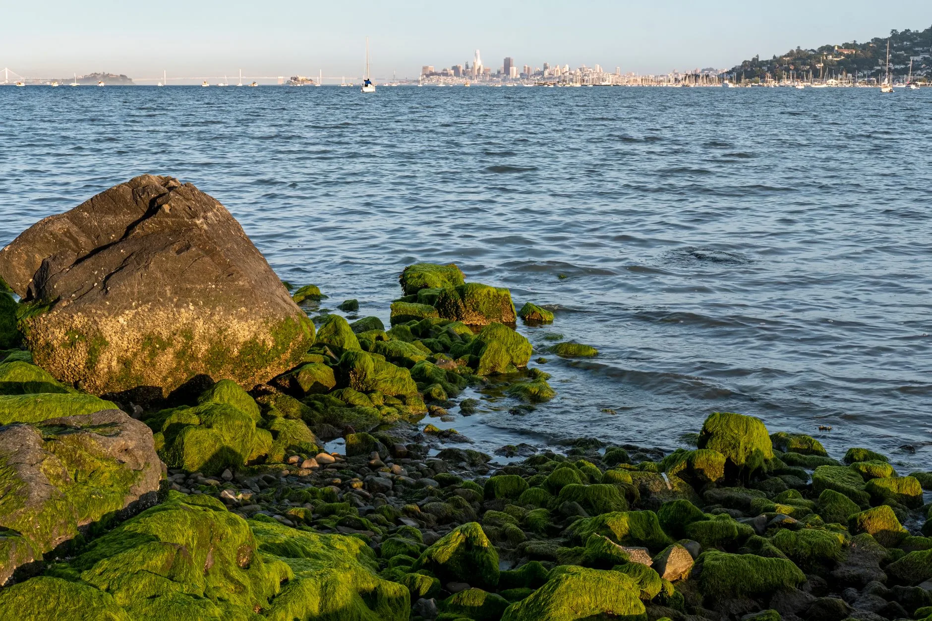
Mayor Daniel Lurie broke ground on 9 September 2026 at the former Candlestick Park stadium site. The Office of the Mayor release describes a plan that restores public shoreline access and adds a network of parks, trails and open space across approximately 270 acres. Full build-out carries 7,200 homes, an innovation district of up to 2.8 million square feet of flexible commercial space, 2.5 miles of publicly accessible bay waterfront, 60 city blocks, 100 acres of parks and open space, and shops, restaurants, a hotel and entertainment uses. FivePoint develops the site.
A southeastern San Francisco route built along the bayfront can add the district. The sequencing question is when.
What the site adds to a southeastern route
The stadium came down in 2015 and the parcel sat vacant through years of delay. The plan returns the land to public waterfront with a park and trail network.
The Board of Supervisors named 11 public and 13 private streets at the site on 5 May 2026 and renamed Bill Walsh Way as Giants Drive, which gives a route a sports-history stop on a published record.
Two and a half miles of waterfront and 100 acres of open space are the pieces a group itinerary can use. Both arrive over the build.
The dates a route planner works from
Credaily reported on 30 July 2026 that the infrastructure serving the first seven development blocks should finish within two years, with the more than $130 million first-phase cost attributed to OCII. The Real Deal reported on 12 September 2026 that the first phase is the only financed section, with $130 million covering roads, utilities and other infrastructure elements.
Houseberry, on 4 August 2026, puts full completion at 2048 and the main park at 2042, and describes the phase as seven blocks of streets, sidewalks and utilities with no vertical construction. Attribute those dates to that publisher. No other source reviewed for this piece carries them.
OCII sent a request for proposals to develop, own and operate up to 100 affordable units, with submissions closing 8 October 2026.
A sequencing rule for the construction years
Sequence the district last on any route dated inside the two-year infrastructure window. The release publishes no coach set-down area, no parking plan and no street-closure schedule for the district. Confirm staging with the developer before the stop goes into a published itinerary.
The groundwork precedes a land sale to developers who build each phase. Ask the developer for the seven-phase sequence before you price a stop.
Where groups sleep on this route
OpenStreetMap lists ten hotels within six kilometres of the former stadium footprint at 37.7136, -122.3860, read on 25 September 2026. The nearest is the Mylo Hotel at 2,193 metres, or 7,193 feet, on a straight line. The other nine sit between 4,521 and 5,988 metres along the Sierra Point Parkway and Veterans Boulevard corridors in Brisbane and South San Francisco, with three Mission Street addresses. Road distances run longer than every figure listed.
What the itinerary cannot promise
The release names a hotel inside the district and stops there. No room count, no brand and no hotel date appear in the document. The development agreement's land-use table sets the district's hotel allowance at 130,000 gross square feet, filed as an exhibit to Five Point Holdings' Form 8-K on 12 August 2025. No start date is published for the first residential building, and no schedule is published for the innovation-district floors.
Wait for the developer to publish one date before a hotel stop, a meeting venue or a park opening goes into a printed route.
What the operator confirms before the route prints
Ask which block the first public space sits on and when it opens. Ask for the staging plan and the drop-off point. Ask for the park and waterfront access dates.